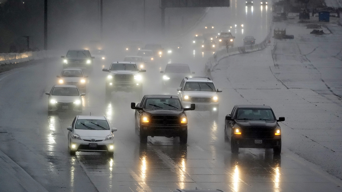
Despite the precipitation, experts are uncertain if these events — and those potentially to come this season — will be enough to compensate for weeks without significant snowfall.
“We’re heading into a much colder pattern that will be characterized by some weak to moderate storms,” Daniel Swain, a climate scientist at the University of California Los Angeles, said at a Tuesday webinar.
“It’s considerably more snow than the recent storms have dropped in the mountains,” he added, noting that each storm could add between 6 to 12 inches.
Even with this improvement, however, Swain stressed that there is “still going to be well below average snowpack probably by mid-January.”
While current conditions are slightly tamer than originally anticipated, the National Weather Service’s (NWS) Sacramento branch reported that heavy snow had already fallen in parts of the Sierra Nevada by Wednesday morning.
The meteorologists forecasted about 10-19 inches of snow at elevations above 4,000 feet in Northern California through Wednesday night, with as much as 2 feet accumulating along the Sierra Nevada’s highest peaks.
But Wednesday’s weather is just the first in a sequence of storms expected to pummel California over the coming days.
On the trail of this “fast-moving” burst, NWS Sacramento warned that “another system moving in over the weekend will bring another round of widespread precipitation.”
NWS Los Angeles, meanwhile, forecasted potential snow over Southwestern California’s higher mountain peaks through Thursday — with possible accumulation at lower elevations over the weekend.
The series of storms are coming on the heels of a Tuesday announcement from state water officials that snowpack levels are lingering at just 25 percent of to-date seasonal averages.
California’s Department of Water Resources presented this data at the year’s first “snow survey,” which gauges the amount of water stored in mountain snow and informs statewide supply decisions later in the season.
Meteorologists had been anticipating wet conditions this winter due to strong prevailing El Niño conditions, which typically bring rainy weather to California’s coast.
Yet despite the initially discouraging data, state water officials maintained that it’s too early to tell whether it will be a dry or wet season.
“We often get slow starts to our water year,” Michael Anderson, state climatologist for California Department of Water Resources, said at a Zoom press conference on Tuesday.
“We’re only about one-third of the way through the big three months, and a lot can change,” Anderson added.
The presence of El Niño also isn’t necessarily a reliable predicator of precipitation, stressed Andrew Schwartz, lead scientist at the University of California, Berkeley Central Sierra Snow Laboratory.
Five of the highest snowfall seasons and four of the lowest snowfall seasons in recent history have both been El Niño years, he noted.


